Blog

Johns Mountain WMA

This past Sunday we took a drive up to Walker County to check out Johns Mountain WMA, the scenic overlook, and The Pocket. Plenty of Forest Service Roads in the area, camping, hiking, and even a shooting range. The scenic overlook is well worth the drive up to catch a sunset, or star gaze!!


Some photos from the ride.

2017-07-09 17.17.42

2017-07-09 20.11.01

DCIM100MEDIADJI_0177.JPG

DCIM100MEDIADJI_0181.JPG

2017-07-09 20.43.49

2017-07-09 20.43.59

2017-07-09 20.47.59

2017-07-09 21.03.54

Hurricane Creek and Max Patch, NC

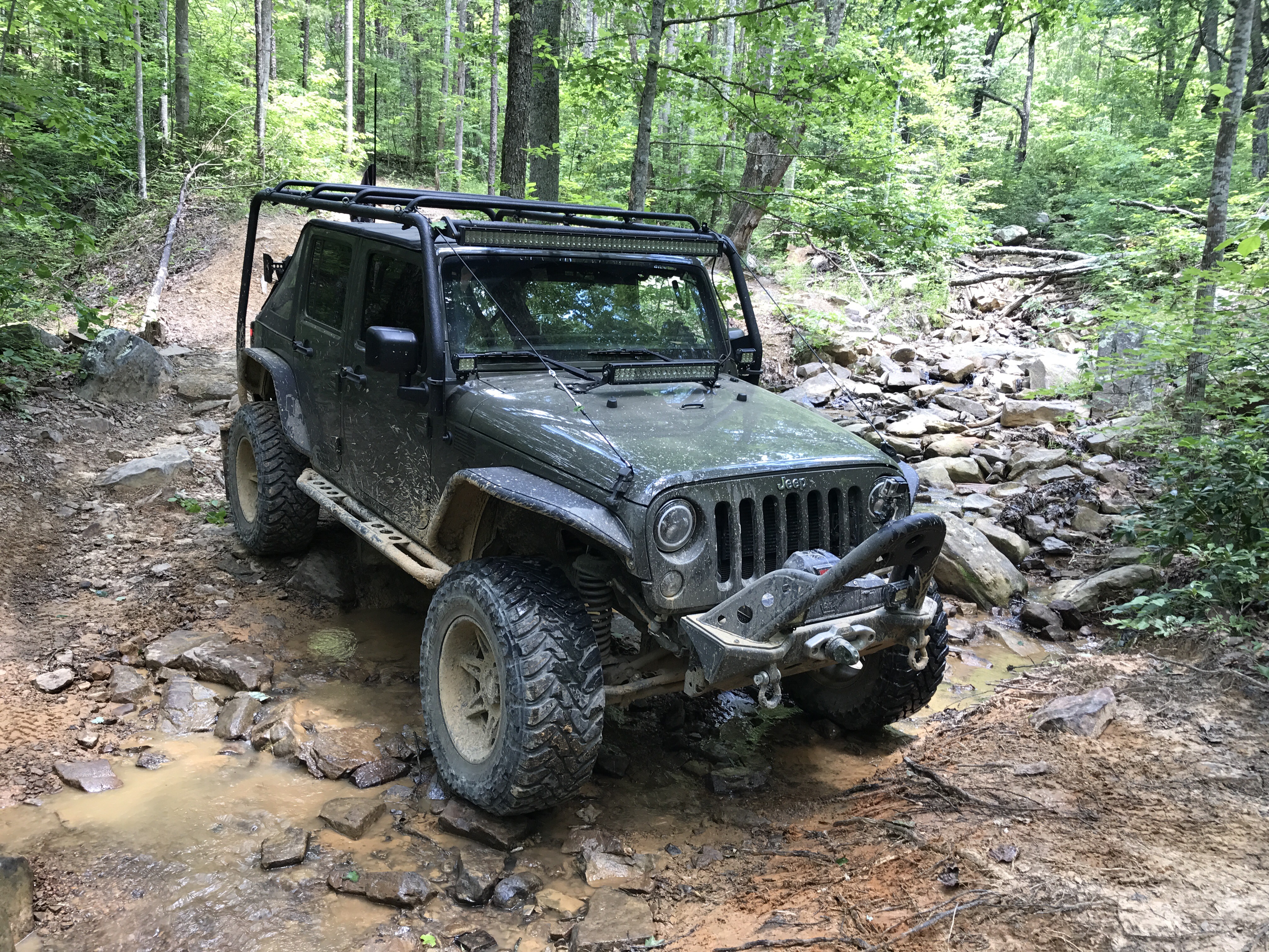
Over the weekend we took a ride up to North Carolina with some friends to run Shelton Laurel Road, Hurricane Creek Road, and then up to Max Patch.   We met up with Micheal and Rita, and Stuart and Jennifer in Franklin, NC.  From there we headed North!

2017-07-01 10.25.52

The underpass of I-40 on Shelton Laurel Road.

2017-07-01 12.46.42

Some Patriotic Spirit of some of the property owners on Hurricane Creek.

2017-07-01 13.06.45

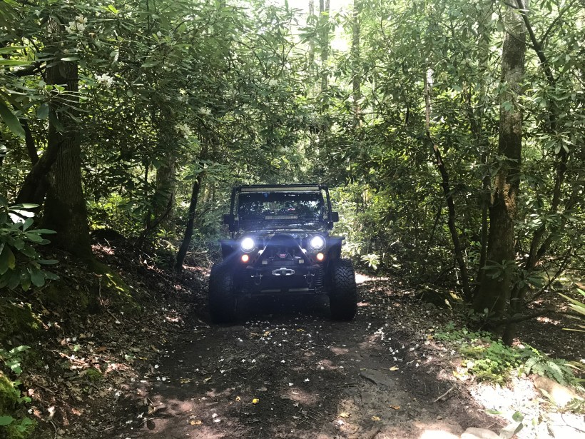
Rhododendron were still in bloom and covered the mountain sides all along the ride.  I know my mother would have loved to see them in bloom.

2017-07-04 09.58.15

Bark mushrooms typically grow in the form of conk, also called a bract or shelf.  These most often grow in cool, rainy coastal areas and on the shady, north side of trees. ( so remember, if your lost, and find these – you’ll know what direction North is)

2017-07-04 09.58.28

2017-07-01 13.12.29

2017-07-01 13.15.00

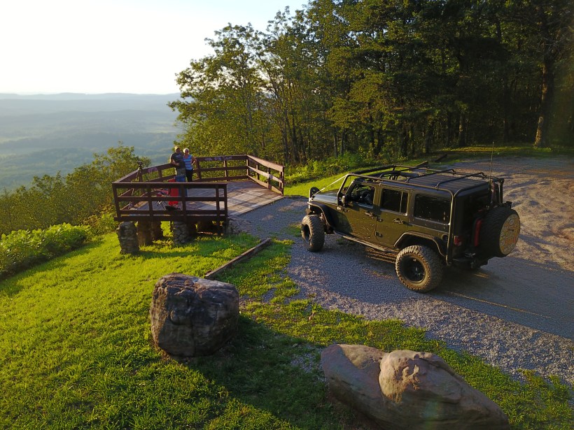
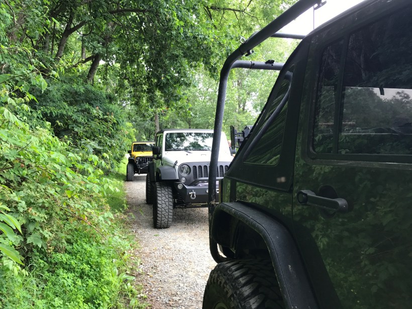
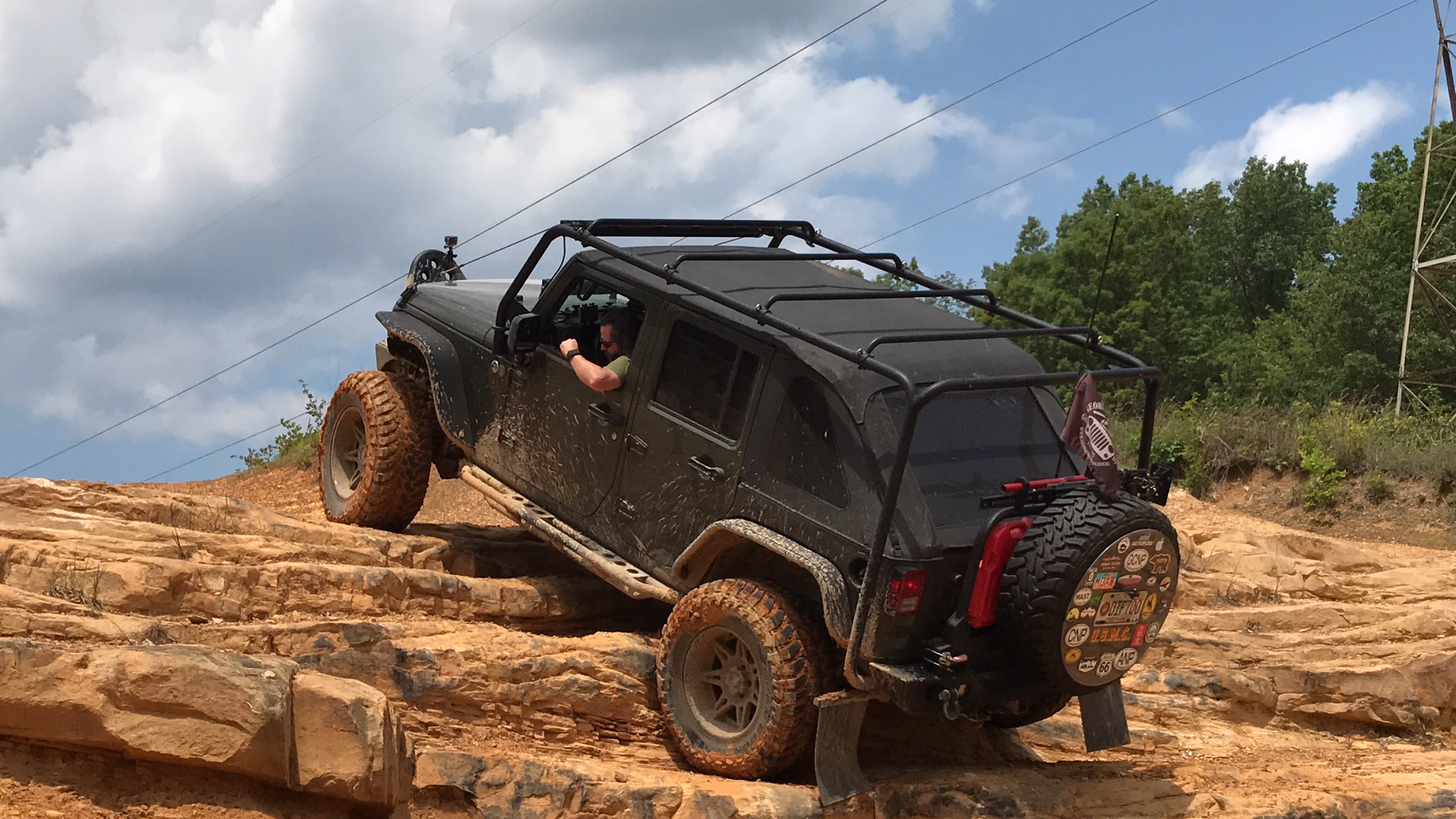
The road gets a little rocky and uneven in places.  I would recommend a high clearance vehicle for this road.

2017-07-01 15.02.07

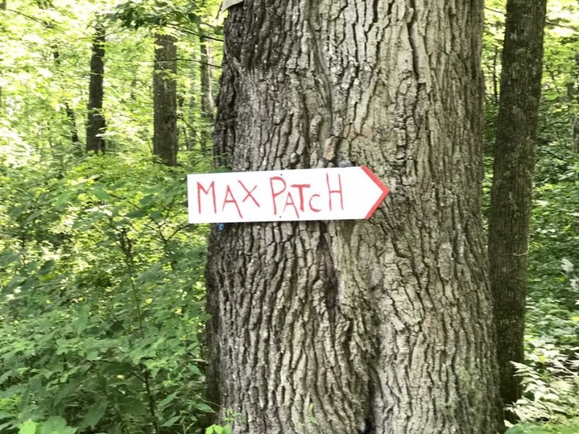
Onward and upward to Max Patch.

2017-07-04 09.57.41

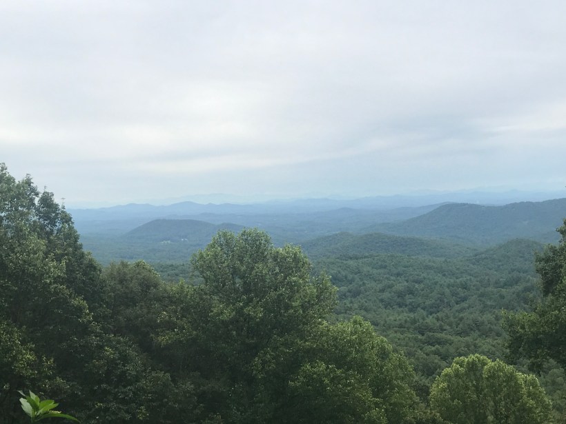
A view from the bottom of Max Patch.  This 4,600-foot mountain was cleared and used as pasture in the 1800s. Today, it’s a 350-acre tract of open land on a high knob with 360-degree views. On a clear day, you can see from Mt. Mitchell on the east to the Great Smoky Mountains on the south. And great for star gazing and enjoying wildflowers. The summit is a short walk from the parking lot. Max Patch is part of the Pisgah National Forest.

2017-07-01 16.12.07

Half way up to the Summit.2017-07-01 16.12.23

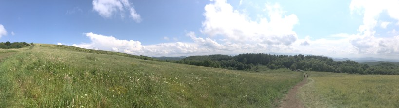
Someone planted a Flag there.  There was a steady breeze to keep it waving.

2017-07-01 16.12.52

A view from the summit.

2017-07-01 16.28.39

2017-07-01 16.29.14

The USGS Marker at the top identifies the highest point.

2017-07-01 16.31.20

2017-07-01 16.32.09

Michelle’s on “Top of the World

2017-07-01 16.33.16

On our ride home, we took Highway 74 though the Nantahala. We stopped at the Nantahala Outdoor Center to snap some photos of the river. It was a little misty and raining so we didn’t venture out long here.

2017-07-01 20.47.51

2017-07-01 20.48.49

A short distance down from the Nantahala Outdoor Center was this suspension bridge that crossed the river.  Naturally we had to investigate.2017-07-01 20.57.32

2017-07-01 20.57.50

2017-07-01 20.58.23

2017-07-01 20.58.46

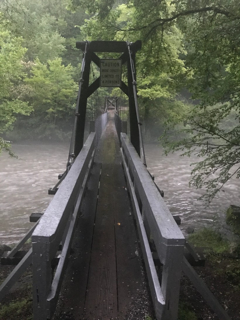
After the Nantahala it was on to home, and preparing for the next adventure.

Bell Mountain – March 2016

This is some previously recorded footage that I reworked of the ascent up Bell Mountain in Hiawassee, Georgia prior to them paving the road. In the summer of 2016 Towns County paved the road to the top and built several viewing platforms. While us 4×4’ers preferred the original method to reach the top, everyone can now experience the views from the summit.


Cohutta WMA – June 2017

We ran up to Cohutta WMA near Blue Ridge Georgia to explore some Forest Service Roads in that area. One in particular that runs all the way up into Tennessee.


Here are some photos from the trip.

IMG_2343IMG_2344IMG_2345

IMG_2347
Our little friend

We came across this little guy at one of our stops.  He was just tooling along.


IMG_7749SJNK5555IMG_7777IMG_7782

IMG_7792
The “Tank” and Scott Woodruff’s JKU
IMG_7795
David Does’ JKU

IMG_7797

IMG_7798
Ocoee River

Shakedown @ Nimblewill Gap


We hit up Nimblewill Gap in the Dawsonville Georgia area today. We had our custom built overland trailer with us to give it the run down since we haven’t had it out on the road in a few months.  We have run Nimbelwill before a few times but never with the trailer, so it was nice to see just how well it handled the trail.

It rained most of the day so we were unable to get much “outside” action footage, and Nimblewill is a fairly moderate Forest Service Road.  At the “Gap” is a junction of Nimbelwill, FSR 46, Old Bucktown Road, and also where the Appalachian Trail crosses.  While we took a break there we meet a few hikers trekking along the trail seeming unaware that there was a slight drizzle of rain.  ( 34.608742, -84.214326)


Beasley Knob OHV Trails

June 17 on a last minute invite from good friend Stuart Allum, we hit up Beasley Knob OHV Trail in Northeast Georgia.  We had heard they opened a new sections of trails with rock gardens and wanted to check it out.   The first section of rocks was pretty easy, being about the size of basketballs.  The second section of rocks were a little bit larger and then the third section even larger.  You can see where this is going….   After about the fourth section, we decided to turn around before something was damaged. Both our differentials and undercarriage took a beating along the way.

Beasley Knob OHV is highly recommended and we’ll be heading back there one day soon!  For now, enjoy the video.